


Trail Report
Thursday April 1, 2021 8:07PM

Good overall conditions
2 general warnings
0 trail warnings
THE ORV SEASON IS OFFICIALLY OPEN!
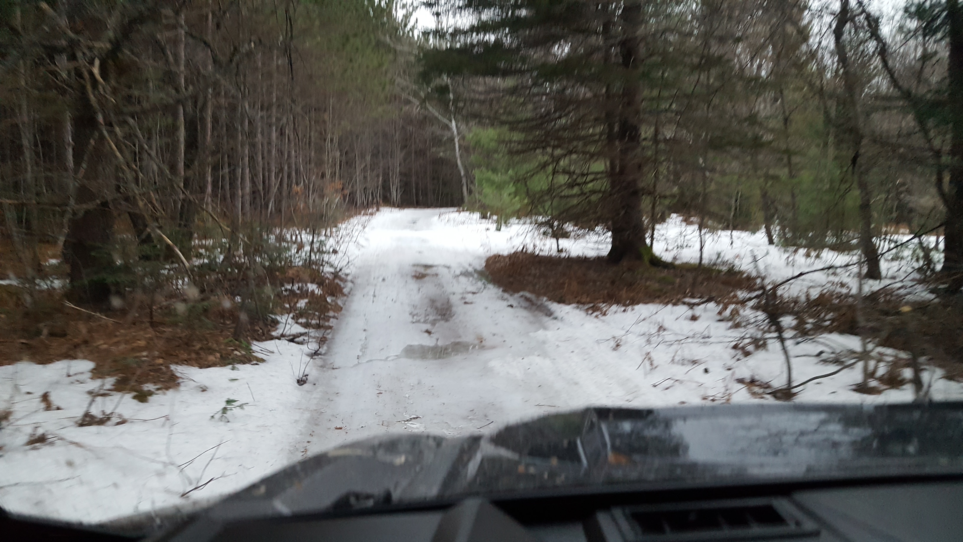
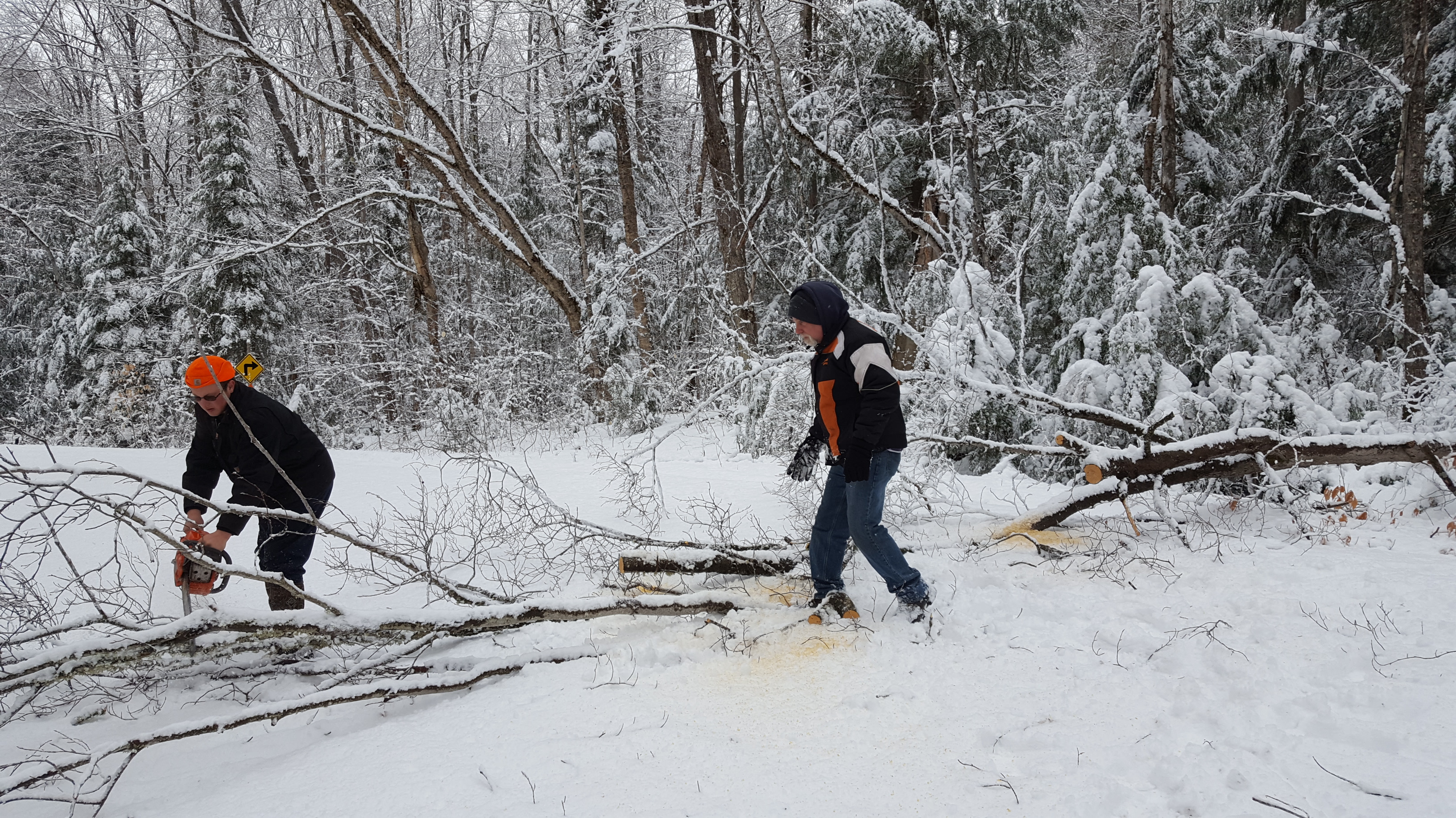
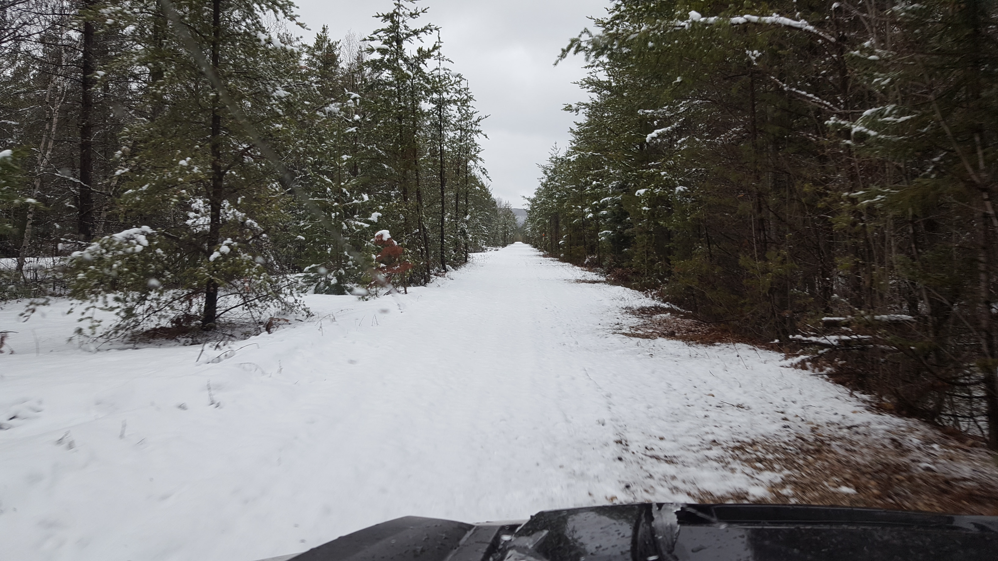
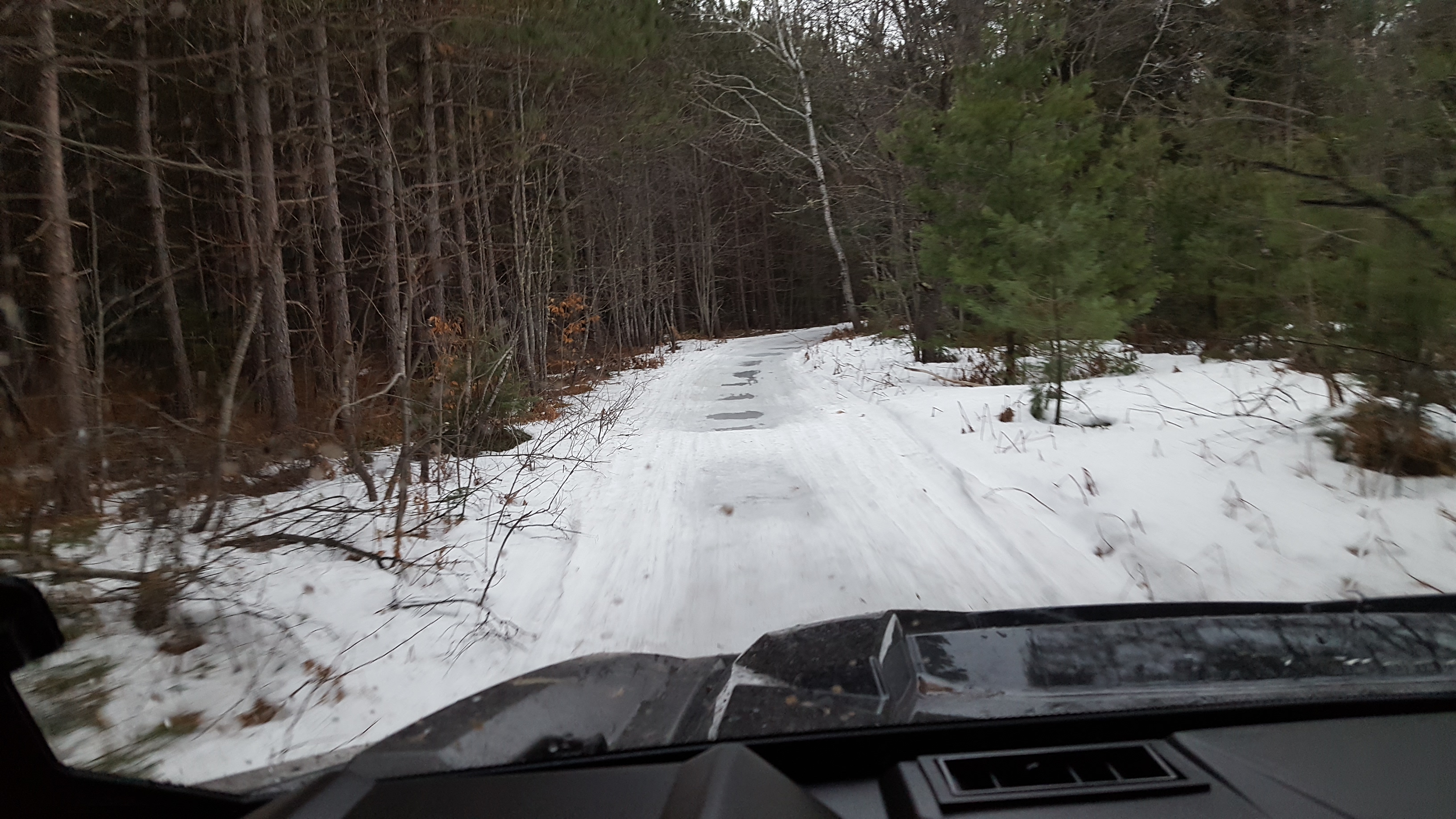
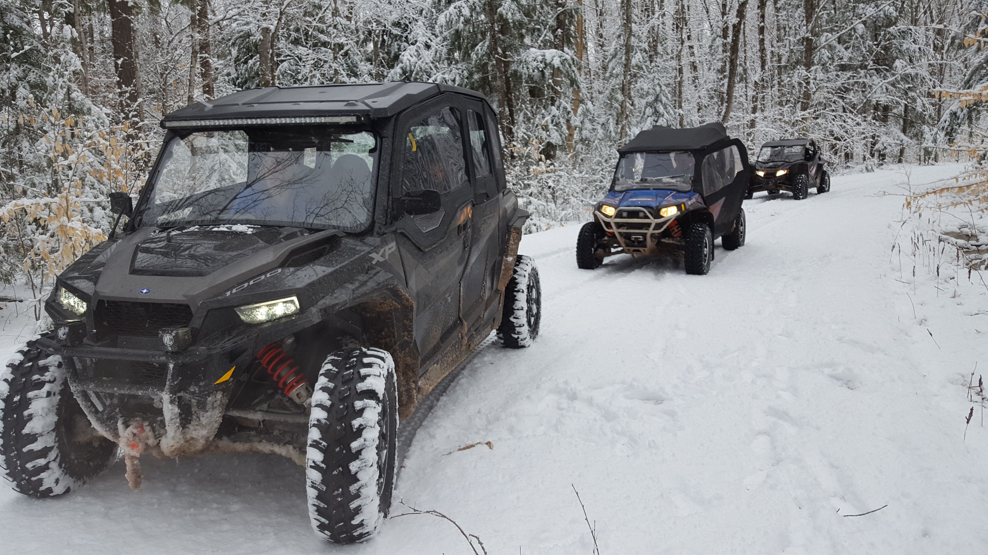
It’s that time of year for the ORV transition and of course we get a few more inches of snow. Where was this a month ago? While we wait for the snow to melt we will be getting our club owned John Deere 7130 ready for grading operations. As far as current conditions the trails, seasonal National Forest and County roads are still 60% snow covered with standing water and ice in areas. Gates are closed just north of Shingleton so ORV’s must take H-15 North of M-28 for .75 miles and head East to access Trail 8 North. Route “C” from Shingleton to Chocolay Twp. is again 60% snow covered with standing water and snowy/icy ruts closer to Shingleton. Stay Alert as trails are crowned and slippery in some of the snowy areas. We have also been having high winds lately so watch for fallen trees. Ride Safe and Enjoy the outdoors!
Grading Operations: None – Machines currently in preparation
Photo: Route “C” and National Forest Roads
Be sure to patronize and thank your Trail Sponsors!
Today’s Trail Report brought to you by: Bell Forklift – Clinton Twp., MI
![]()
DEEP WATER
- Deep water holes along M94 just south of Shingleton heading north off of Route "C".
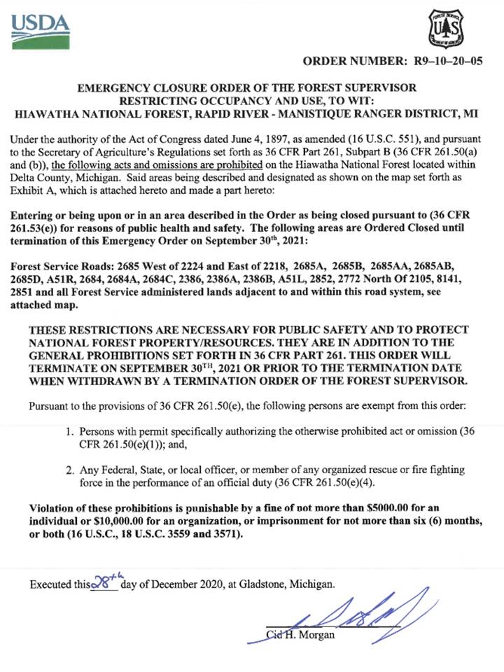
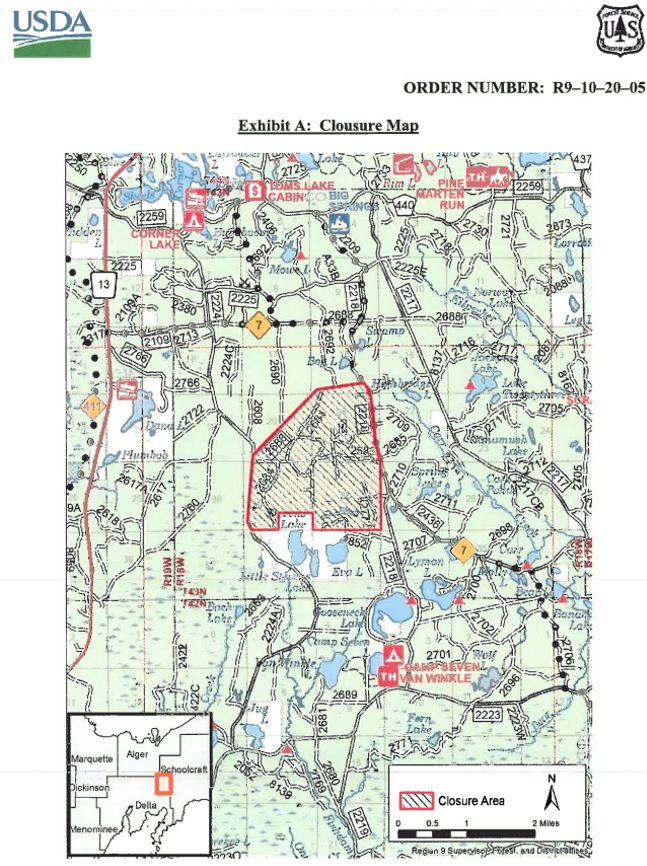
IMPORTANT National Forest Closure Notice!
- KNOW WHERE YOU RIDE in the Stevens Lake F-16 crash site area. This is located near Snowmobile Trails 7 to the North and East and Trail 411 to the West. Order in effect through September 30, 2021. Notice from the National Forest: "Just a heads up to remind riders to stay on trails especially around or near the crash site they can be fined or imprisoned if caught inside perimeter thanks" Please review Order and Map in images below so you avoid this area.
Copyright © 2021 – SORVA of Alger County